Project update | 02 December 2022
2022 Workshop on Earth Observation for Ecosystem Accounting
The EO4EA 2022 workshop recently took place between 28th Nov - 1st Dec 2022. Project Lead Dr Victor Martinez-Vicente presented the work of the BOOMS project to over 100 attendees.
The event was organized by the European Space Agency in collaboration with the Environmental-Economic Account section of the United Nations Statistics Division (UNSD) and the Earth Observations for Ecosystem Accounting initiative of the Group on Earth Observations (GEO EO4EA).
The workshop provided an ideal platform to present work relating to BOOMS and 'sister' project BiCOME (Biodiversity of the Coastal Ocean: Monitoring with Earth Observation).
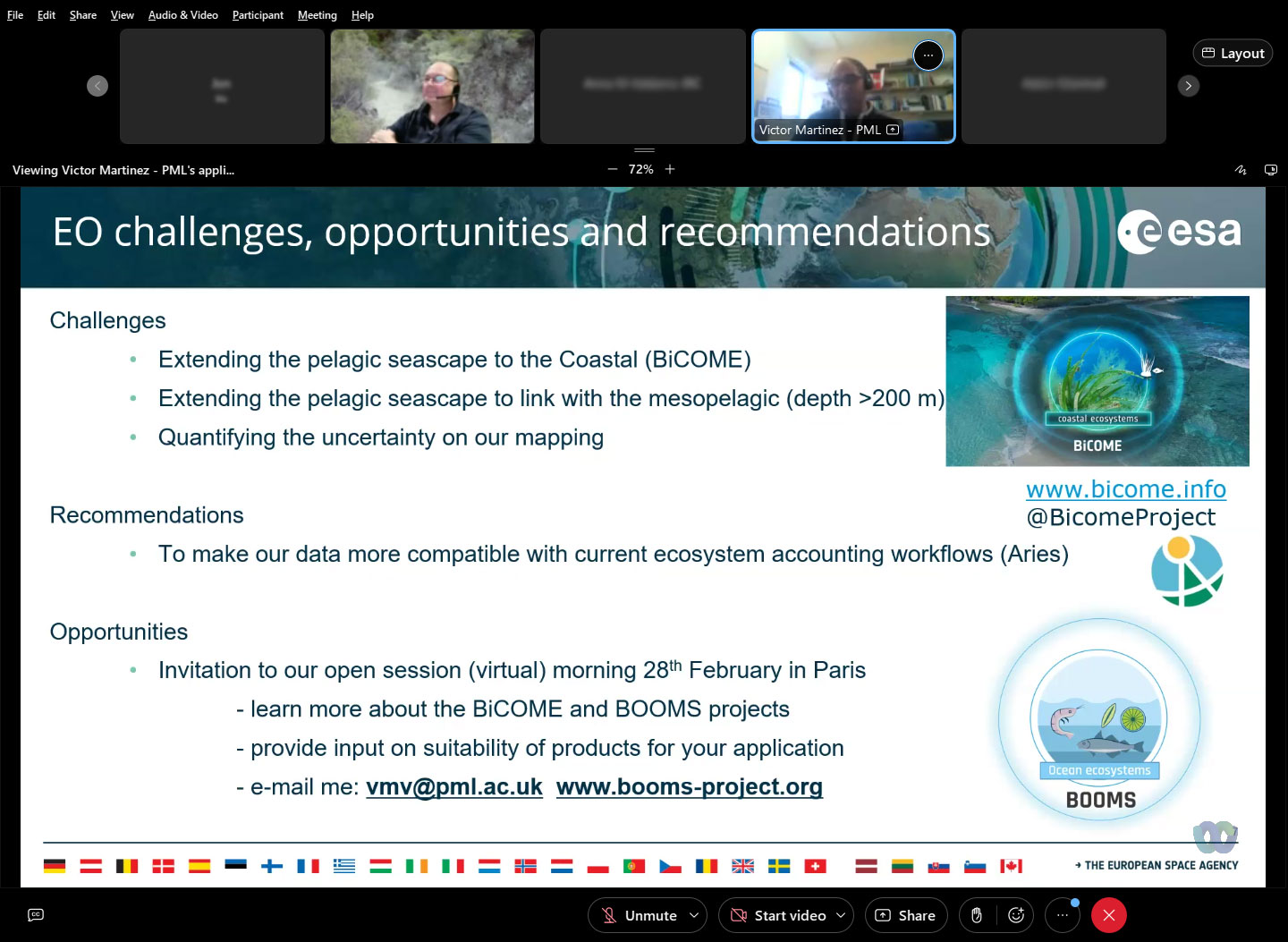
Victor gave a presentation during Session 6: Thematic Accounts (3/4): Marine/Coastal ecosystems - Case studies on the role of EO data to compile accounts on marine and coastal ecosystems.
Presentation information:
Satellite Derived Seascapes as a Measure of the Extent of Ecosystem Types to Support Ecosystem Accounting in the Coastal and Open Ocean
Abstract
Standardised measures of Essential Biodiversity Variables (EBV) are necessary to characterize the condition of marine ecosystems. At the global scale, satellite observations can complement and interpolate in situ observations. A potential approach is the definition of habitats by the physical, chemical or biological characteristics. This concept of dynamic biogeochemical provinces or seascapes (Platt and Sathyendranath, 1999) relates to the patch hierarchy (refs in Kavanaugh et al., 2014), where the system is viewed as a partially ordered set, and system dynamics are a result of distinct but interacting patches within the system. The early approaches of biogeographic provinces (Sathyendranath et al.,1995; Longhurst, 1995, 2007, 2010) delimited static boundaries for the ocean regions. These regions were demarcated by areas grouped by their common oceanographic characteristics. These included surface chlorophyll fields from satellite, and a mix of climatologies and in situ data collection on physical (i.e. mixed layer depth, Brunt-Vaisala frequency, photic depth, Rossby internal radius of deformation), chemical (surface nutrient fields) and biological (production and respiration). These definitions of biogeochemical provinces have evolved to become dynamic in time at the monthly scale (Reygondeau et al., 2013), allowing insights on the effects of climate change (Reygondeau et al., 2020). The definition of dynamic seascapes is a prime example of the potential of the combination of multiple sources of EO data. The application of seascapes to Natural Capital quantification is interesting for computing dynamic changes in the extent of the marine ecosystem types, related to M2 Pelagic ocean waters (M2.1 Epipelagic ) biome.
The presentation will introduce the ESA funded projects BOOMS (Biodiversity of the Open Ocean: Mapping, Monitoring and Modelling) and BiCOME (Biodiversity of the Coastal Ocean: Monitoring with Earth Observation). The projects investigate innovative ways to compute seascapes from satellite Earth Observation data.
AUTHORS: MARTINEZ-VICENTE, VICTOR (1); BROSZIET, STEFANIE (1); JACKSON, THOMAS (1); CLEWLEY, DANIEL (1); SULLIVAN, EMMA (1); ATKINSON, ANGUS (1); RAITSOS, DIONYSIOS (2); DARMARAKI, SOFIA (2); FERNANDES, JOSEAN (3); GARCIA BARON, ISABEL (3); SATHYENDRANATH, SHUBHA (1)
ORGANISATIONS: 1: PLYMOUTH MARINE LABORATORY, UNITED KINGDOM; 2: NATIONAL AND KAPODISTRIAN UNIVERSITY OF ATHENS, GREECE; 3: AZTI TECNICALIA, SPAIN
View the presentation (PDF)